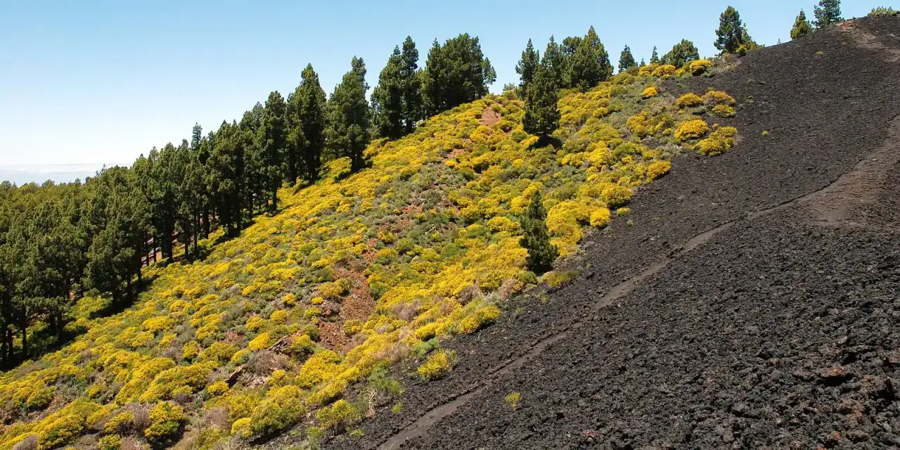
If you are planning a walking holiday in the Canary Islands and can only pick one island, choose La Palma. It is the only one where walking is the norm: 57.6 % of its visitors go hiking, against an average of 19.9 %, and it has 1,000 km of waymarked trails across the Caldera de Taburiente, the Ruta de los Volcanes and the laurel forest of Los Tilos. La Gomera comes second, thanks to Garajonay. Tenerife wins on altitude and variety, but its three famous routes need booking and two of them cost money. Gran Canaria has Roque Nublo; Lanzarote and Fuerteventura, short volcanic walks and the island of Lobos.
The best Canary Island for hiking, depending on what you want
Where to walk in the Canary Islands
Caldera de Taburiente, Ruta de los Volcanes, Tajogaite
The hikers' island: 1,000 km, the GR 130 round the island and the GR 131 along the summit ridge.
Garajonay
World Heritage laurel forest, 18 official routes and free guided walks on Fridays.
Teide, Masca, Anaga
High mountains at 3,715 m and coastal ravines, with permits and quotas.
Roque Nublo, Pico de las Nieves
Summit at nearly 2,000 m, with free booking required for Roque Nublo.
Camino de Jinama, El Sabinar
Old paths and few people; the GR 131 ends here.
Caldera Blanca, Timanfaya
Lava from 1730–1736; inside the park, guided walks only.
Lobos, Calderón Hondo, Pico de la Zarza
Short, flat routes; Lobos with a free permit.
Tenerife: Teide, Masca and Anaga, permit in hand
Tenerife has the most famous routes and also the most paperwork. All the details are in the Teide guide and the Anaga and Masca guide.
Teide summit (PNT 10). The cable car (€43 return) takes you to 3,555 m. The last 0.66 km to the summit, about 55 minutes' climb, require a personal permit from Tenerife ON that is not included in the ticket: since January it has cost €15 between 09:00 and 17:00 for non-residents of the Canary Islands. It is booked 56 days ahead, and at the checkpoint they inspect boots, long trousers and warm clothing. The sunrise and sunset slots carry no fee but still have to be booked; the Refugio de Altavista mountain hut (€71 a night) includes the permits for sunrise. Without a permit, the La Fortaleza and Pico Viejo viewpoint trails start from the top station. Walking up via Montaña Blanca to La Rambleta (PNT 07) is 8.29 km with 1,309 m of ascent: free as far as kilometre 4.6 and, from there, permit plus €6 (€10 at weekends). Walking down also requires a permit.
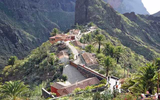
Masca Gorge (Barranco de Masca). Downhill only, about 5 km and 4 hours, graded difficult, with a compulsory boat out to Los Gigantes. It costs €40.66 (€20.33 for ages 8 to 17) on the trail's official website, and the only way to reach the start is bus 355 from Santiago del Teide: arrive by car or taxi and you will be turned back. The calendar offers the descent from Wednesday to Saturday. Buy the boat first, which must leave no more than 4 hours after your entry time, and pick the 09:00 slot, which has twice as many places. The beach is closed: you finish at the jetty.
Anaga. El Pijaral, the "enchanted forest", is a loop of just over 6 km with a free permit from Tenerife ON, at most 14 days ahead and 5 people per booking. Companies cannot take groups in. Laurel forest without a permit is at Cruz del Carmen, with a visitor centre and buses 76 and 275 from La Laguna. On Teide, the easy route is Roques de García: a 3.47 km loop, free and with no booking needed at the time of writing. The Barranco del Infierno (Adeje, €15 with booking and helmet) is currently closed: check whether it has reopened on its official website.
Gran Canaria: Roque Nublo and the summit
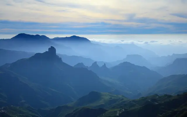
Roque Nublo (1,813 m) is free, but from the Degollada de La Goleta you must book between 10:00 and 17:00 at grancanariasenderos.com, with a quota of 60 people an hour and a QR code plus ID checked at the control point. Before 10:00, after 17:00 or if you come in via La Culata, no booking is needed. The path from La Goleta is short, about 1.5 km each way.
The classic mistake is the car: the La Goleta car park is closed and parking on the verges gets you fined. Leave the car at Cruz de Los Llanos or in Tejeda; Global bus line 18 links them with the start of the trail (€6 from Faro de Maspalomas). On the same summit is the Pico de las Nieves viewpoint (1,949 m); the island's highest point is the neighbouring Morro de la Agujereada (1,956 m). The Gran Canaria Walking Festival takes place in mid-October, with one guided walk a day. To combine it all, see the trips to the Gran Canaria summit.
La Palma: the hikers' island
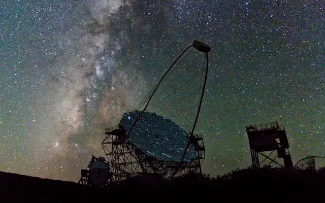
La Palma has the GR 130, which circles the island in 8 stages, and the GR 131, "El Bastón", which climbs from Puerto de Tazacorte to the Roque de los Muchachos and follows the summit ridge to Fuencaliente.
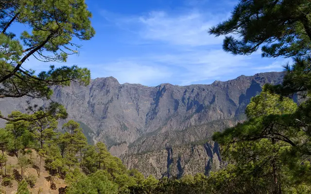
Caldera de Taburiente. You can only drive up to La Cumbrecita with a free booking on the National Parks website between 08:30 and 16:00. One hour is enough for the flat kilometre to the Lomo de las Chozas viewpoint; for the viewpoint loop, book two, because overstaying your slot bars you from booking for a year. After 16:00 the barrier is open. You cannot park at Los Brecitos: you leave the car in the Barranco de las Angustias and go up by taxi in the morning. At the time of writing the Cumbrecita–Zona de Acampada trail is closed: check the state of the park's trails on its official page before you go.
Ruta de los Volcanes. This is the GR 131 stage between the Refugio de El Pilar and Fuencaliente: 23.7 km along the ridge of the southern volcanoes, with taxis from Fuencaliente to El Pilar so you do not need two cars. Marcos y Cordero (12.5 km and 13 water tunnels) completes the classic trio.
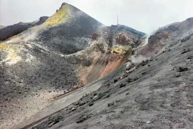
Tajogaite. You can only reach the 2021 cone with a licensed guide: about 6 km and just over 2 hours from Llano del Jable, for about €30–48. The Tajuya and Las Manchas viewpoints are free. More in the Tajogaite volcano guide. The La Palma Walking Festival takes place in mid-September.
La Gomera and El Hierro: laurel forest and old paths
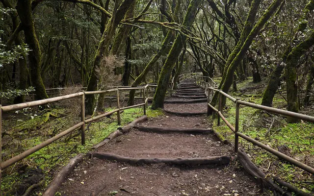
Garajonay (World Heritage since 1986) is the best-preserved laurel forest in the Canaries, with 18 official routes. The most useful: route 17, from Pajarito to Alto de Garajonay (1,487 m), 2.2 km and 270 m of ascent, with a stop for bus 1 at Cruce de Pajarito. Download the audio guide at your hotel because there is no signal in the forest, and bring a jacket: it is a cloud forest.
The park runs free guided walks in Spanish every Friday (and on Wednesdays from July to September), booked on the National Parks website with telephone confirmation the day before. They only work if you are staying on the island, because the morning boat arrives too late. In summer, driving to El Cedro between 09:30 and 17:00 also requires a booking. More in our Garajonay guide.
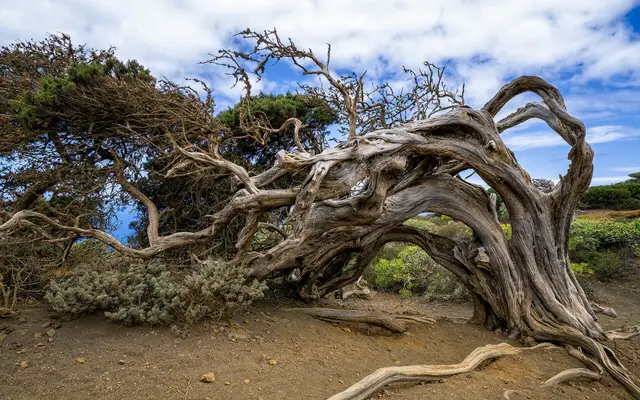
On El Hierro the signature route is the Camino de Jinama, one of the island's oldest paths, which drops from the Jinama viewpoint (about 1,230 m) down to Frontera. There are no facilities along the way. El Sabinar is an easy walk among juniper trees bent over by the wind.
Lanzarote and Fuerteventura: short volcano walks and an island without cars
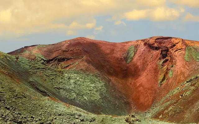
On Lanzarote, Caldera Blanca is about 10 km and 3 hours from the church at Mancha Blanca, crossing the lava of 1730–1736. You cannot walk on your own inside Timanfaya: the only way to set foot in the heart of the park is the Tremesana route, guided and free, about 3 hours long, for over-16s and booked 25–30 days ahead. The paid walks are in the Timanfaya guide.
On Fuerteventura, Calderón Hondo is the easy volcano (5 km, an hour and a half, near Lajares) and Pico de la Zarza (807 m), the island's highest point, is just over two and a half hours' climb. The most rewarding outing is Lobos: 7.4 flat kilometres in about 2 hours, with the free island council permit from lobospass.com, which opens 5 days ahead, in two 4-hour shifts (10:00–14:00 or 14:00–18:00) and with a maximum of 200 people on the island at once. The boat (Naviera Nortour or Ferry Isla de Lobos) from Corralejo costs €17 return.
The permits most people miss
- 1TeidepeakDirections ↗
- 2Mascanature areaDirections ↗
- 3Anaga · Cruz del Carmennature areaDirections ↗
- 4Roque NublopeakDirections ↗
- 5La Cumbrecitanature areaDirections ↗
- 6Refugio de El Pilarnature areaDirections ↗
- 7Alto de GarajonaypeakDirections ↗
- 8Caldera BlancapeakDirections ↗
- 9Calderón HondopeakDirections ↗
- 10Isla de Lobosnature areaDirections ↗
| Route | Island | What you need | Price | The usual mistake |
|---|---|---|---|---|
| Teide summit | Tenerife | Tenerife ON permit, 56 days ahead | €15 (09:00–17:00) | Thinking the cable car includes the summit |
| Masca Gorge | Tenerife | Booking + bus 355 + boat | €40.66 | Driving to Masca |
| El Pijaral | Tenerife | Permit, max. 14 days ahead | Free | Buying a tour to get in |
| Roque Nublo | Gran Canaria | Booking 10:00–17:00 | Free | Looking for parking at La Goleta |
| La Cumbrecita | La Palma | Parking booking 08:30–16:00 | Free | Driving up without a slot |
| Lobos | Fuerteventura | Lobos Pass, 5 days ahead | Free | Buying the boat and forgetting the permit |
| Tajogaite | La Palma | Licensed guide | €30–48 | Heading to the cone on your own |
The Teide and El Pijaral permits are released on Mondays at 07:00 Canary Islands time, which is the same as UK time (08:00 in mainland Spain): book at that hour.
Guided walks: free in the national parks or with a company
Garajonay and Timanfaya offer walks with a park guide free of charge, and hardly anyone books them because they are on a government website and not on the booking platforms. If your dates do not fit or you have no car, a paid guided walk sorts out transport and permits.
Our pick
1
Tajogaite with a licensed guide
The only legal way to get close to the 2021 cone; about 3.5 hours in all.
GetYourGuide3.5 hours
La Palma: Tajogaite Volcano Guided Hike
4.8 (309 reviews)
from €55Check availability
2
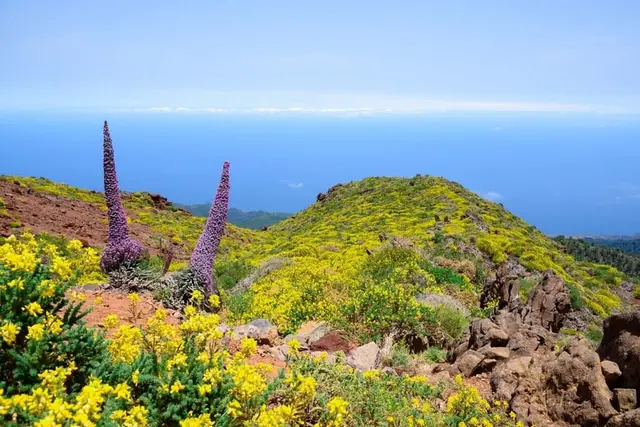
Roque de los Muchachos on foot
No bus reaches La Palma's summit; 4 hours with a guide at a reasonable price.
GetYourGuide4 hours
La Palma: Guided Trekking Tour to El Roque de los Muchachos
4.8 (141 reviews)
from €32Check availability
3
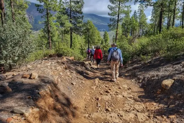
A day's hiking on Gran Canaria
Full day with a guide and snack; useful if you have no car to get up to the summit.
GetYourGuide8 hours
Gran Canaria: Full-Day Guided Hike With Snacks
4.9 (97 reviews)
from €70Check availability
4
Timanfaya lava without waiting for a place
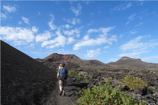
3 hours of volcanic landscape when the free Tremesana walk is full; ask about the minimum age when booking.
GetYourGuide3 hours
Lanzarote: Hike Across Timanfaya's Volcanic Landscapes
4.8 (1,531 reviews)
from €44Check availability
5
Anaga in a small group
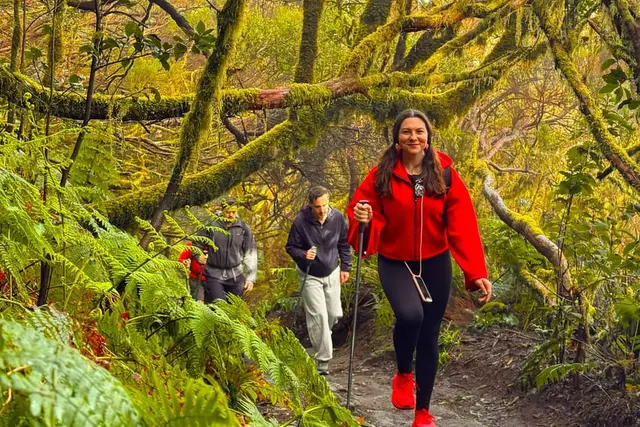
Laurel forest with a guide and transport; ask which trail, because El Pijaral does not admit groups.
GetYourGuide7 hours
Anaga Mountains & Enchanted Forest, Tenerife Hiking Tour
5.0 (443 reviews)
from €139Check availability
GetYourGuide7 hours
Anaga Mountains & Enchanted Forest, Tenerife Hiking Tour
5.0 (443 reviews)
from €139Check availability
GetYourGuide9 hours
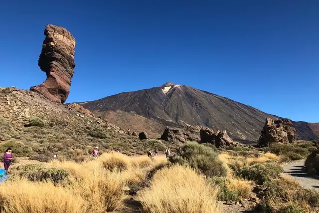
Tenerife: Teide National Park, Masca, Icod & Garachico Tour
4.6 (3,035 reviews)
from €58Check availability
GetYourGuide5 hours
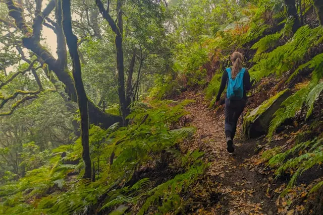
Tenerife: Hike Above Masca in Enchanted Forest with Pick-up
4.9 (464 reviews)
from €89Check availability
GetYourGuide8 hours
Gran Canaria: Full-Day Guided Hike With Snacks
4.9 (97 reviews)
from €70Check availability
GetYourGuide3 hours
Tejeda: Sunset & Night Sky Guided Astronomy Hiking Tour
4.9 (38 reviews)
from €59.95Check availability
GetYourGuide3.5 hours
La Palma: Tajogaite Volcano Guided Hike
4.8 (309 reviews)
from €55Check availability
GetYourGuide4 hours
La Palma: Guided Trekking Tour to El Roque de los Muchachos
4.8 (141 reviews)
from €32Check availability
GetYourGuide8 hours
La Palma: Guided trekking tour to southern volcanoes
4.8 (75 reviews)
from €42Check availability
See all options on GetYourGuide →Prices checked on 2 October 2026
Best time and safety: heat, calima, altitude and 112
| Jan | Feb | Mar | Apr | May | Jun | Jul | Aug | Sep | Oct | Nov | Dec | |
|---|---|---|---|---|---|---|---|---|---|---|---|---|
| Coast and mid-altitudes | ideal | ideal | ideal | ideal | likely | likely | unlikely | unlikely | unlikely | likely | likely | likely |
| High mountains (Teide, Roque de los Muchachos) | unlikely | unlikely | unlikely | likely | ideal | ideal | likely | likely | ideal | ideal | likely | unlikely |
| Laurel forest (Garajonay, Anaga, Los Tilos) | likely | likely | ideal | ideal | ideal | ideal | likely | likely | likely | likely | unlikely | unlikely |
| Lanzarote and Fuerteventura | ideal | ideal | ideal | ideal | likely | likely | unlikely | unlikely | unlikely | likely | ideal | ideal |
unlikelylikelyideal
December is the wettest month, and on Teide it snows two or three days a month from December to March: when there is ice they require crampons and an ice axe, or close the trail. The Garajonay laurel forest is at its best from March to June and driest from July to September. Month by month, see Canary Islands weather.
Calima. When there is African dust in the air, the health authorities ask children, older people and anyone with asthma or heart problems not to exercise outdoors. The longest episodes come in January and February.
Altitude. At Izaña (2,369 m) January nights hover around 1 °C. The Teide cable car does not take children under 3, pregnant women or people with heart or circulatory conditions. In the Caldera de Taburiente, do not start long routes after midday or go in when it is raining or very windy.
Rescue. Call 112. A helicopter rescue is reckoned at about €2,000 per hour of flight, and the Canary Islands Government can charge for it if you were reckless: ignoring alerts, going in without a permit, leaving the trail or going without proper kit. Do not count on being a tourist to get you out of the bill.
Which is the best Canary Island for hiking?
La Palma: it has 1,000 km of waymarked trails and almost 58 % of its visitors go hiking. La Gomera, with Garajonay, comes second; Tenerife is best for high mountains.
Do you need a permit to climb Teide?
For the final stretch to the summit, yes: it is booked on Tenerife ON up to 56 days ahead and costs €15 between 09:00 and 17:00 for non-residents of the Canary Islands. The cable car does not include it.
Do you have to book for Roque Nublo?
Yes, between 10:00 and 17:00 if you start from the Degollada de La Goleta; it is free at grancanariasenderos.com. The La Goleta car park is closed.
Which hiking trails in the Canary Islands are good with children?
Lobos (7.4 flat km), Calderón Hondo (5 km), Roques de García (3.47 km) and the short walks at La Cumbrecita or Laguna Grande in Garajonay. Masca has a minimum age of 8 and Timanfaya's Tremesana walk, 16.
Which is the best Canary Island for hiking in summer?
The summits of Tenerife and La Palma, setting off at dawn, and Garajonay, which is at its driest from July to September. Always check the wildfire alerts.
Are there free guided walks in the Canary Islands?
Yes: Garajonay on Fridays (and Wednesdays in summer) for anyone staying on La Gomera, and Timanfaya's Tremesana walk for over-16s. Both are booked at reservasparquesnacionales.es.